Identify Surfside Beach Ships & Cargo
MarineTraffic App
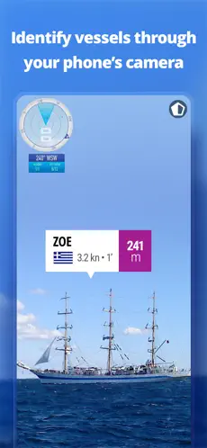
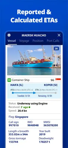
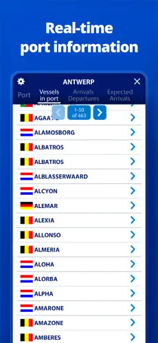
See all those ships coming in and out of Freeport from your warm chair on Surfside Beach, Texas? Find out what they are carrying and where they are going for free!
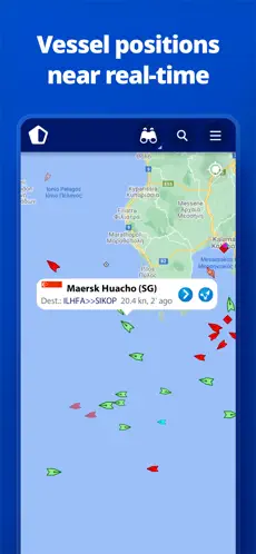
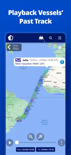
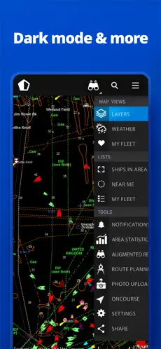
MarineTraffic displays near real-time positions of ships and yachts worldwide.
Connected to the largest network of land-based AIS receivers, the app covers most major ports and shipping routes.
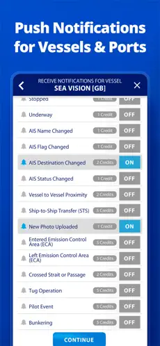
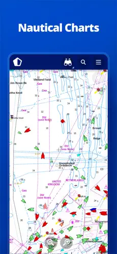
✅ View VESSELS ON THE LIVE MAP, search for ships, boats and seaports and see what’s near you!
✅ More than 300,000 VESSELS PER DAY report their positions via MarineTraffic AIS
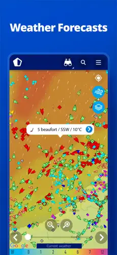
✅ View live wind and 48-hour WIND FORECASTS on the map
This app is available on iPhone and Android.
Latest posts by Kourtney (see all)
- Ultimate Guide: Memorable Things to Do After Prom (30 Ideas) - March 13, 2024
- How I Host Affordable Surfside Beach Family Vacations - January 2, 2024
- How to Avoid an Airbnb Scam - December 19, 2023


